
Core Issue :
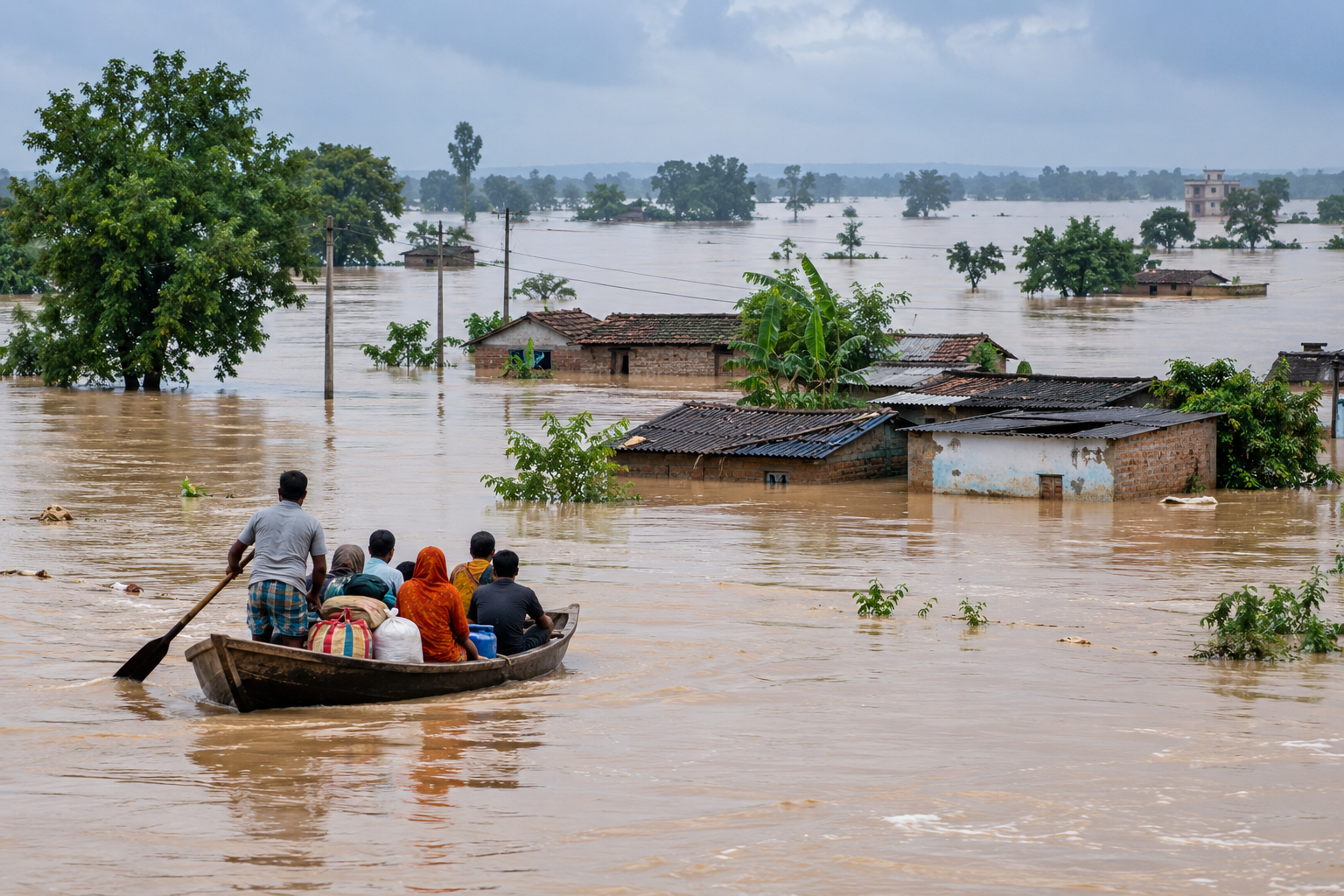
Bihar faces recurrent and widespread flooding due to the combined effects of heavy monsoon rainfall, high river flows from Nepal, the overflowing Ganga and its tributaries, Himalayan sediment deposits, and inadequate drainage in flood-prone areas. According to Bihar’s Flood Management Information System, approximately 68,800 sq. km, or 73% of the state’s geographical area, and around 76% of North Bihar’s population is flood-affected.
Despite below-normal rainfall in Bihar during much of the monsoon, the Ganga reached record levels at Patna and Bhagalpur, reflecting the importance of river flows and rainfall across the wider Ganga basin. A glacial lake outburst in Tibet contributed to severe flooding, especially in North Bihar, due to swelling of rivers such as the Kosi, Gandak, Bagmati, Kamla Balan, Burhi Gandak and Mahananda that originate in or flow through Nepal.
Time Line/Graph/Data :
| Data: Bihar Flood September 2026 | |
| Data | Key Development |
| People affected in Sept. 2026 | Approximately 50 Lakhs |
| Districts affected | 14 |
| Ganga Water Level at Gandhi Ghat Previous Record | 50.52 m |
| Ganga Water Level at Gandhi Ghat Sep-26 | 50.58 m |
| Families covered by announced | 8,27,472 |
| DBT relief per family | ₹7,000 |
Important Facts :
- The National Remote Sensing Centre’s Flood Hazard Atlas documents repeated flooding in Bihar across numerous districts over several decades.
- Despite receiving 27% below-normal rainfall between 1 June and 8 September, Bihar faced severe flooding across several districts, which illustrates the importance of rainfall and river discharge across the wider basin. Bihar’s flood-management department notes that around 65% of the catchment area of several major North Bihar rivers lies in Nepal/Tibet, with approximately 35% in Bihar.
- Heavy rainfall across the Ganga basin, combined with inflows from tributaries such as the Ghaghra, Gandak, Kosi, Sone and Punpun, raises the Ganga’s water level. When the river exceeds danger levels, low-lying areas and settlements along its banks are vulnerable to inundation.
- North Bihar’s flat plains, sediment-laden rivers, drainage bottlenecks and densely settled floodplains increase exposure. Embankments can protect settlements but also create risks if breached or overtopped. Water trapped behind embankments may take a long time to drain.
- The Kosi is particularly dynamic: It carries substantial sediment and has a history of changing course, creating persistent flood-management challenges.
- Early warning systems already exist and Bihar’s Kosi Flood Forecasting and Early Warning System aims to provide forecasts with at least 72 hours of lead time at monitored locations.
- Flood damage extends beyond inundation. Crop losses, damaged roads, disrupted schooling, livestock losses, drinking-water contamination and health risks continue after the immediate emergency.
WHAT INDIA EXPECTS
- A comprehensive Bihar Flood Management Plan needs to be prepared that provides the roadmap to manage both river overflow from upstream catchments and waterlogging within the state, while protecting lives, agriculture, homes, roads and public infrastructure.
- India–Nepal flood cooperation needs to be strengthened to ease transboundary coordination challenges such as flood forecasting, barrage operations, and embankment maintenance through real-time data sharing, advance warnings and coordinated infrastructure management.
- The government focus should shift from relief-centred to risk-reduction-centred planning by investing in forecasting, drainage, resilient infrastructure and floodplain management. This may include identifying low lying areas, relocating the settlements to flood-proof planes, development of drainage infrastructure to shift flood waters to drought prone areas, and building flood-proof critical roads, health centres, schools and electricity infrastructure.
- A transparent flood recovery framework needs to be established, covering crop compensation, housing reconstruction, drinking water, healthcare, education and livelihood restoration.
- For a sustainable livelihood, disaster-management plans need to be localized with a strong community volunteer network and flood-tolerant crops need to be promoted.
- The goal should not be to promise the complete elimination of floods, which is unrealistic in a large river system, but to reduce deaths, limit damage, protect livelihoods and shorten recovery time after every flood.